 Image 1 of 1
High-resolution aerial flyover videos + photogrammetry maps to give your claim the visibility, credibility, and “wow factor” that sells.
Buyers are much more likely to act when they can see the lay of the land.
Drone footage creates an instant emotional connection, builds trust, and makes your claim feel real, work-ready, and tangible — especially for remote buyers.
It also makes your listing stand out dramatically across all platforms: your website, email outreach, social media, and even YouTube.
4K Drone Flyover Video (4-6 min)
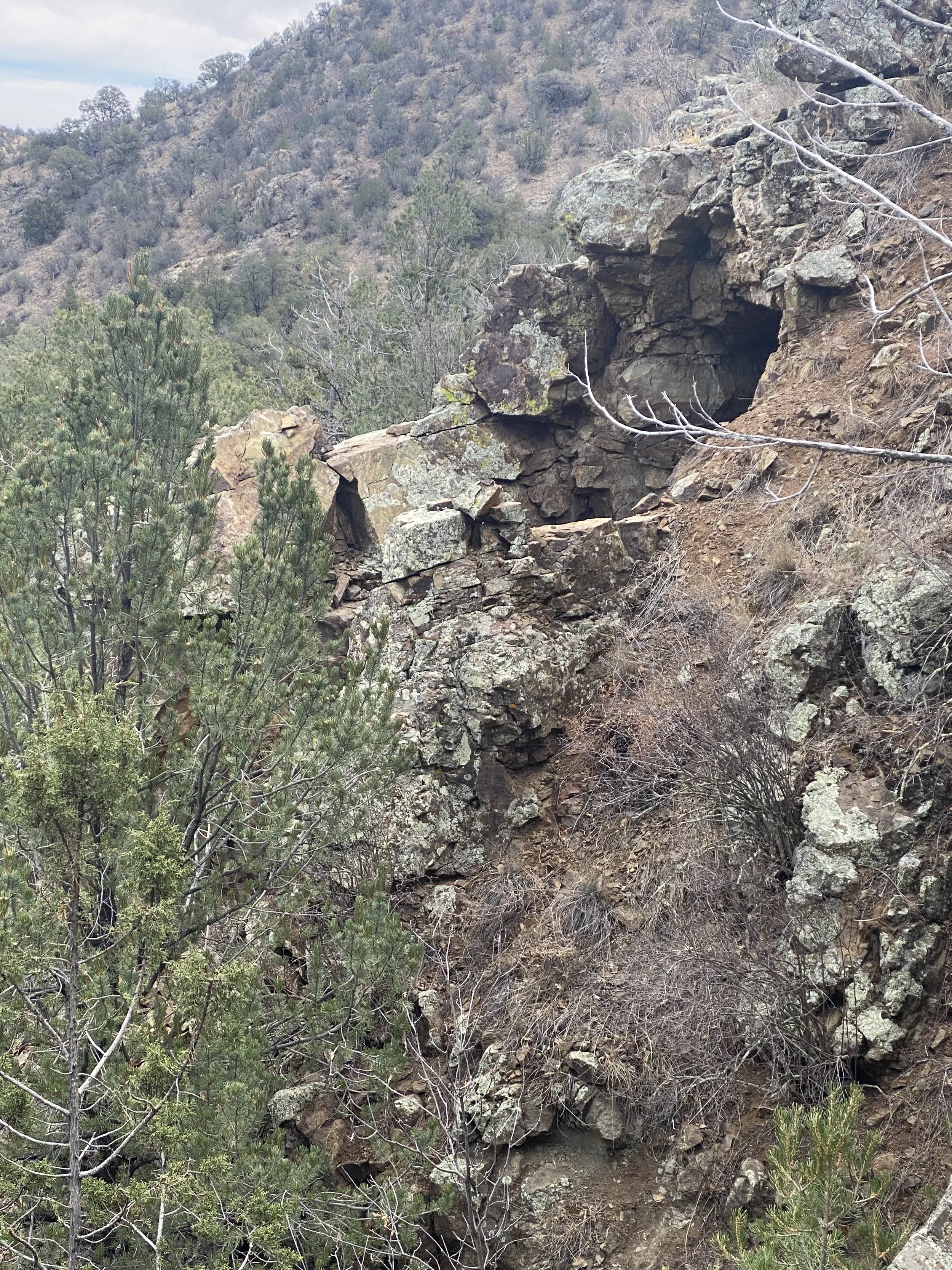
A sweeping aerial showcase of your claim, shot to highlight terrain, access roads, geological features, historic workings, and staging areas.
Geo-Stabilized Overview Map
Custom photogrammetry map using drone pass data, showing boundaries, elevation, and site layout.
Claim Feature Callouts
We’ll annotate shafts, dumps, outcrops, creek lines, and access roads on-screen in the video and/or map for buyer clarity.
Edited, Branded, & Delivered
Final video with intro/outro, company branding, light music, and on-screen text where appropriate.
Website & Social-Ready Formats
MP4 and thumbnail preview image provided — optimized for embedding or sharing.
➡️ $3,100 per claim
Includes full drone shoot (1 field visit), editing, all raw images, all raw video, fully edited video, full field report from time on-site, map render, and final file delivery. Includes travel & lodging fees.
📦 Bundle Option:
Add to any Geology Report or LIDAR Package for just $1,200 more Contact us for bundle pricing.
High-resolution aerial flyover videos + photogrammetry maps to give your claim the visibility, credibility, and “wow factor” that sells.
Buyers are much more likely to act when they can see the lay of the land.
Drone footage creates an instant emotional connection, builds trust, and makes your claim feel real, work-ready, and tangible — especially for remote buyers.
It also makes your listing stand out dramatically across all platforms: your website, email outreach, social media, and even YouTube.
4K Drone Flyover Video (4-6 min)
A sweeping aerial showcase of your claim, shot to highlight terrain, access roads, geological features, historic workings, and staging areas.
Geo-Stabilized Overview Map
Custom photogrammetry map using drone pass data, showing boundaries, elevation, and site layout.
Claim Feature Callouts
We’ll annotate shafts, dumps, outcrops, creek lines, and access roads on-screen in the video and/or map for buyer clarity.
Edited, Branded, & Delivered
Final video with intro/outro, company branding, light music, and on-screen text where appropriate.
Website & Social-Ready Formats
MP4 and thumbnail preview image provided — optimized for embedding or sharing.
➡️ $3,100 per claim
Includes full drone shoot (1 field visit), editing, all raw images, all raw video, fully edited video, full field report from time on-site, map render, and final file delivery. Includes travel & lodging fees.
📦 Bundle Option:
Add to any Geology Report or LIDAR Package for just $1,200 more Contact us for bundle pricing.